Trax Maps
Main Maps
 Doroob Map (Palestine)
 Trax Streets/Roads Map
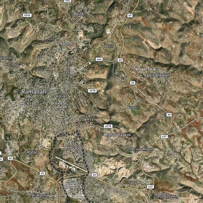
 Trax Satellite Map
 Open Street Map
 Geo-Data (Import your GIS data)
Change the Map
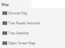
From (Map) user can select best map that provide best information display, check the following picture (from Map, user can select the map):
TRAX MAPS
Here is pictures/samples of TRAX MAPs
| 
|
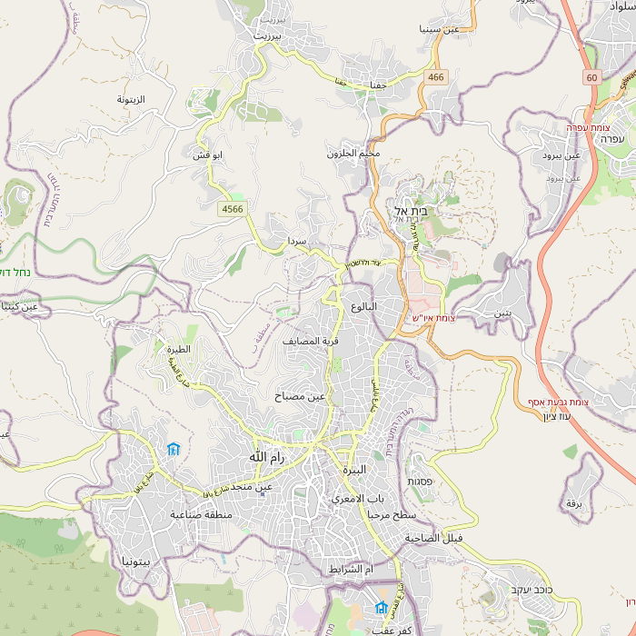
| Trax Roads Map
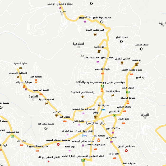
| Trax Satellite Map
|
Import Your Map
This is an Admin privilege, where Admin user can import geoJson file with GIS information (Points, Roads or Polygons)
For more details how to use this tool >>> Contact your Admin